
Yandoit Project
Location and history
The project is located 4km from the small township of Yandoit, Victoria, Australia, which is thought to be the Indigenous word meaning travel. The Werona locality is in the Hepburn Shire local government area, 128 kilometres (80 mi) north west of the state capital, Melbourne. At the 2016 census, Yandoit and the surrounding area had a population of 154. The Yandoit area was first settled under land grant by Captain John Stuart Hepburn. Alluvial gold was discovered in 1854 and 5,000 miners came to the area creating a gold rush in 1860.
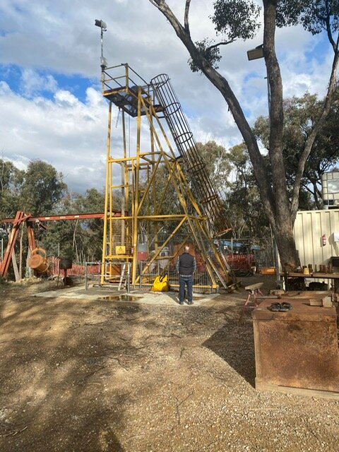
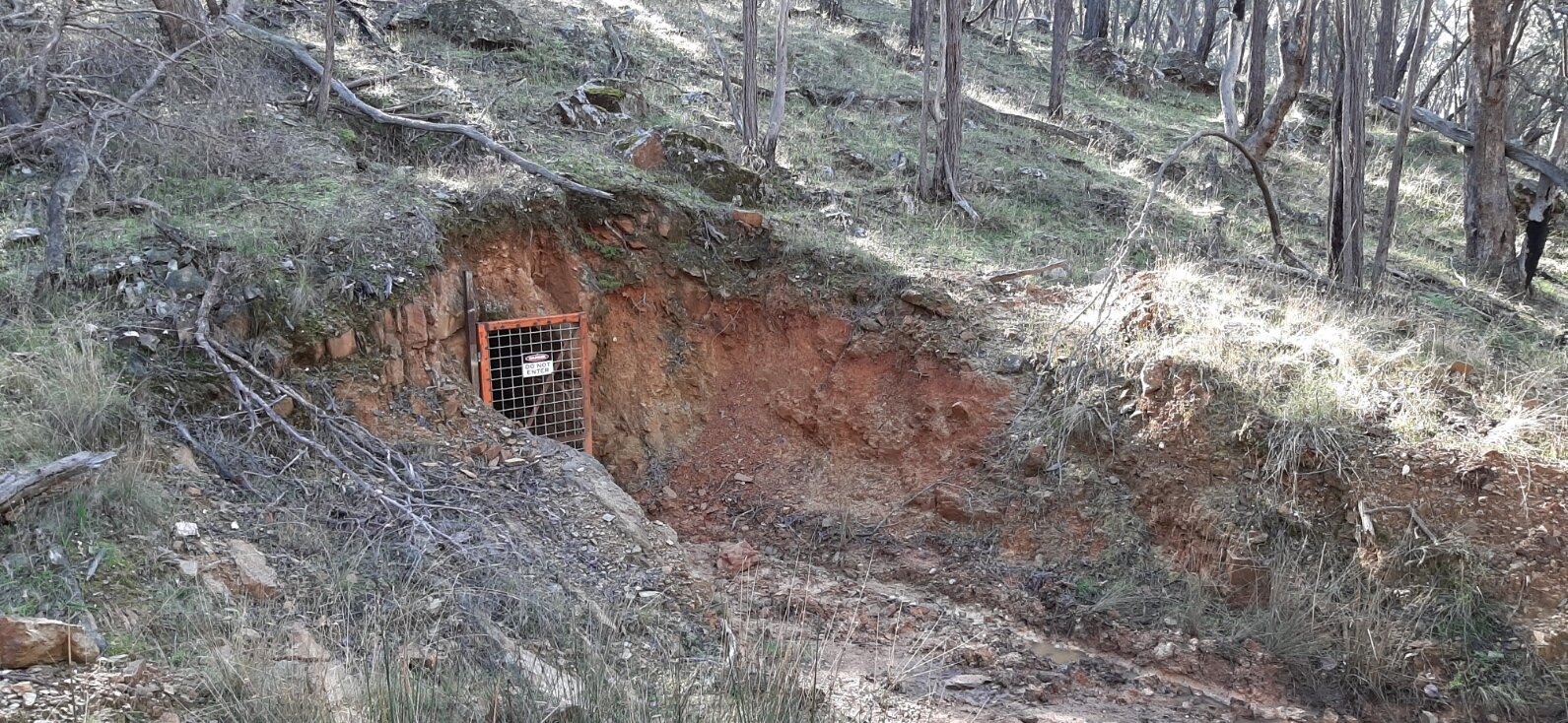
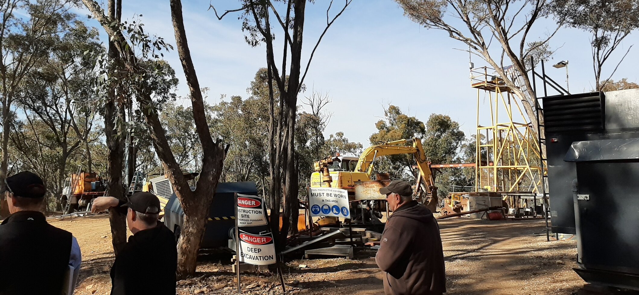
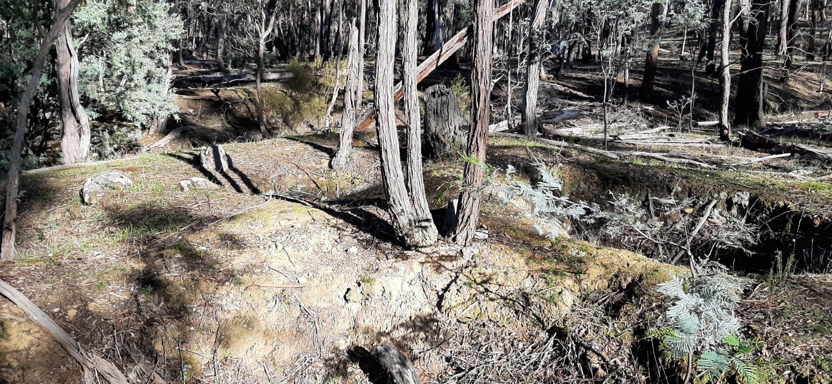
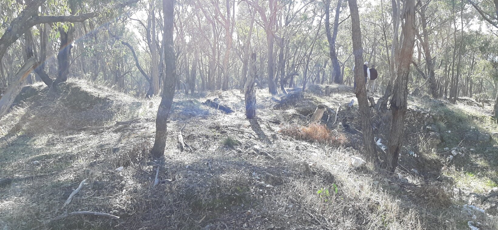
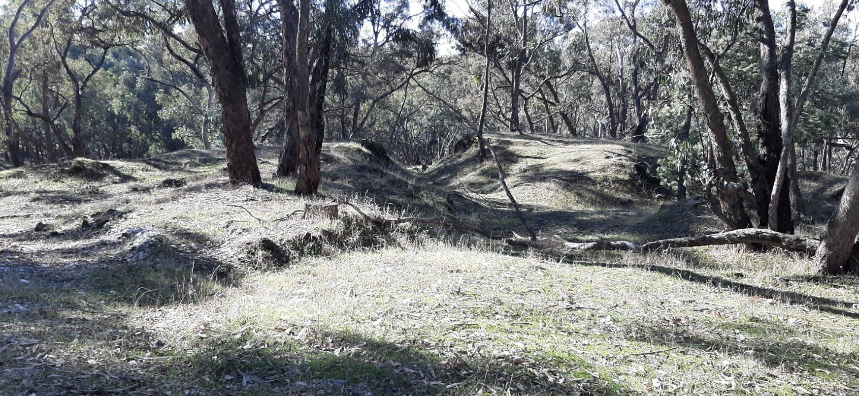
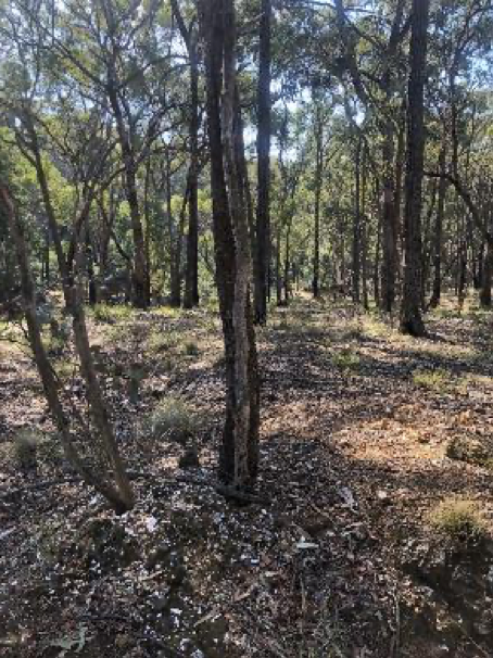
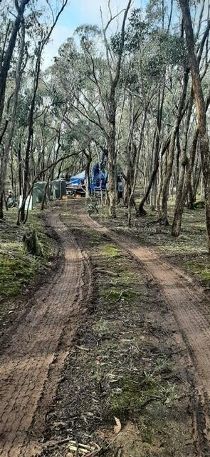
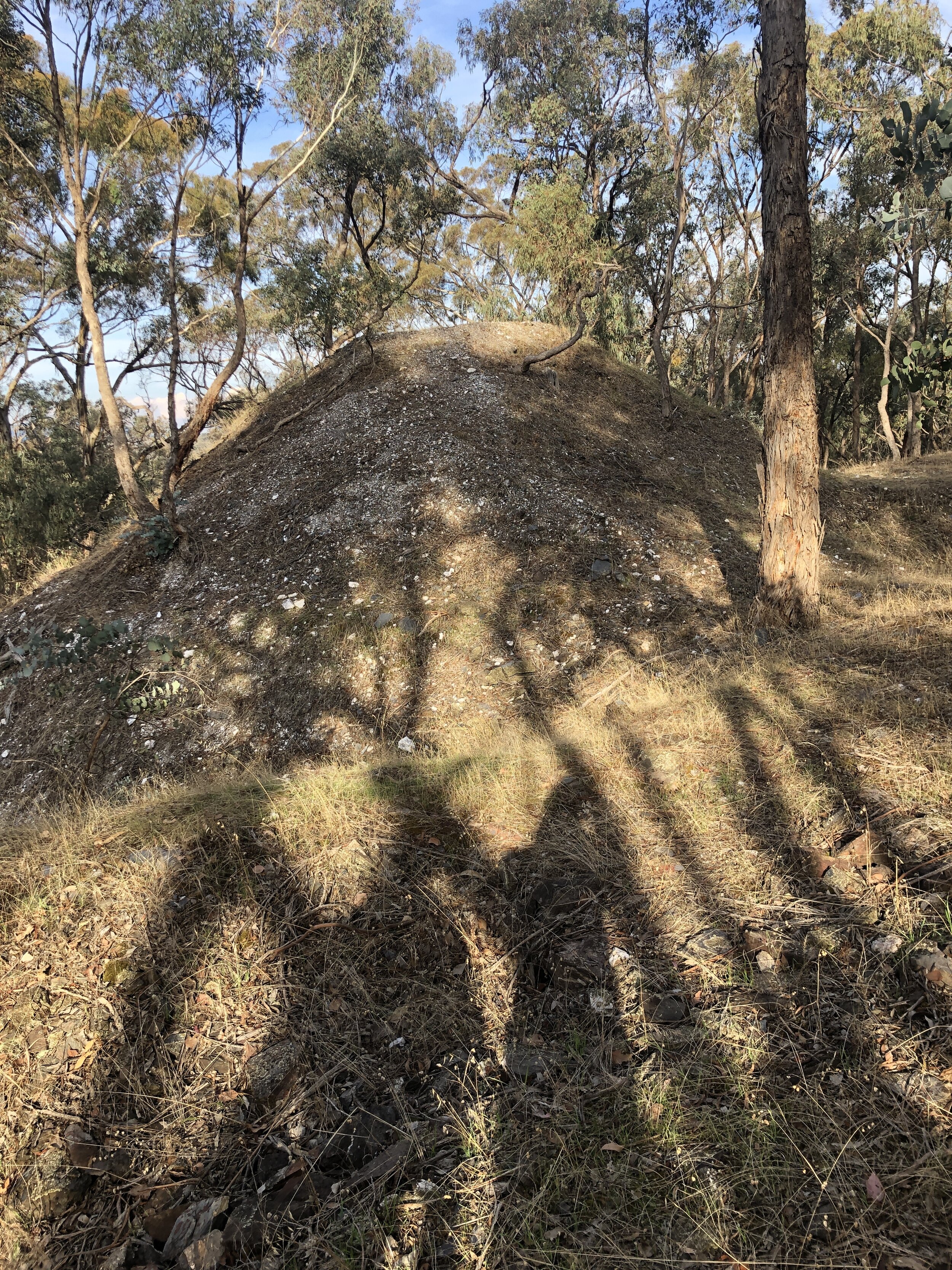
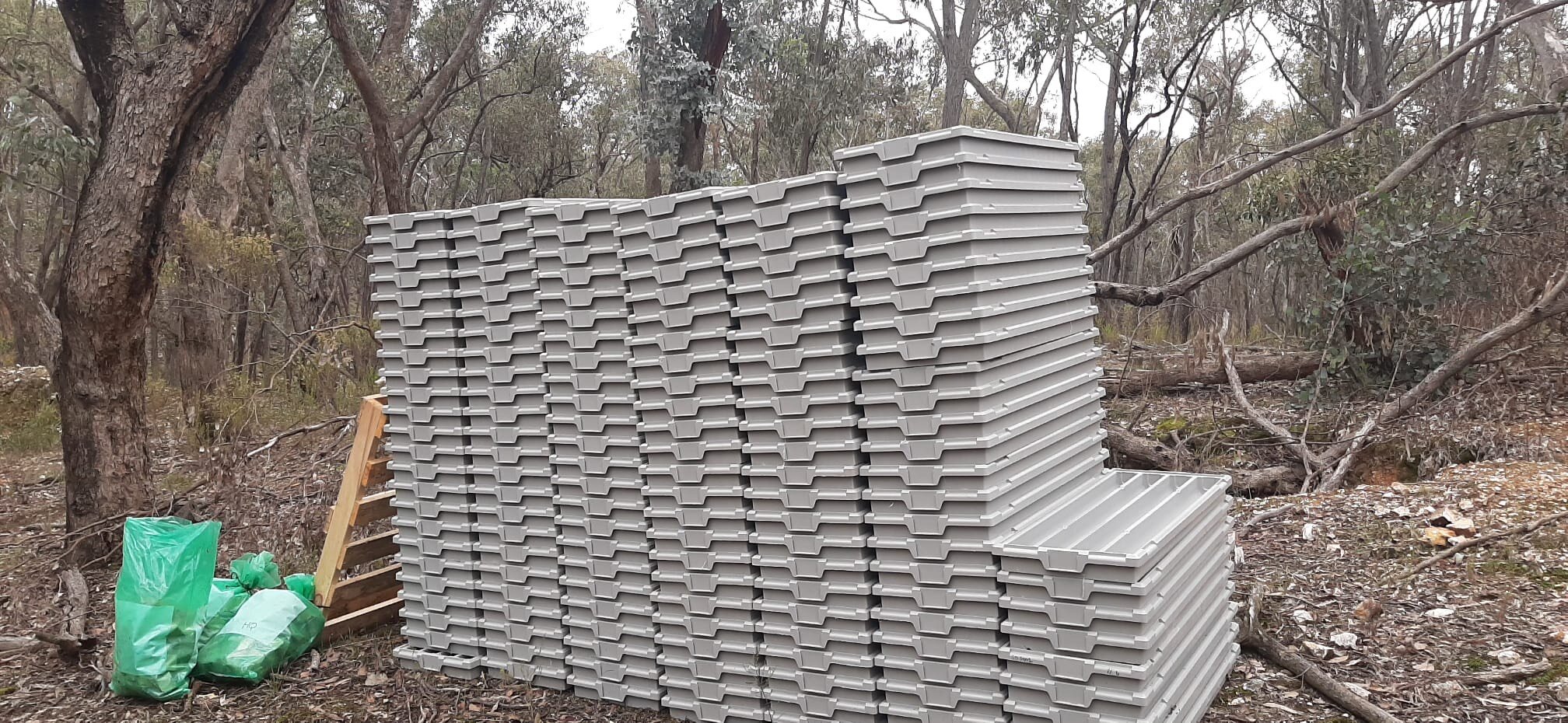
The project consists of two exploration licences (EL6274 and EL5193) and one mining licence (MIN5503) which is located inside EL5193. The Vendor (B.S.B. Mining Pty Ltd) has entered into a binding contract to acquire EL5193 from Ballarat Investment Project Management Pty Limited. This acquisition is on foot and will be completed as soon as the final payment is made. The principal areas of historical exploration within EL5193 have at least six mines with historical records. There are numerous trenches on both EL’s and evidence of closed mines.
geological potential
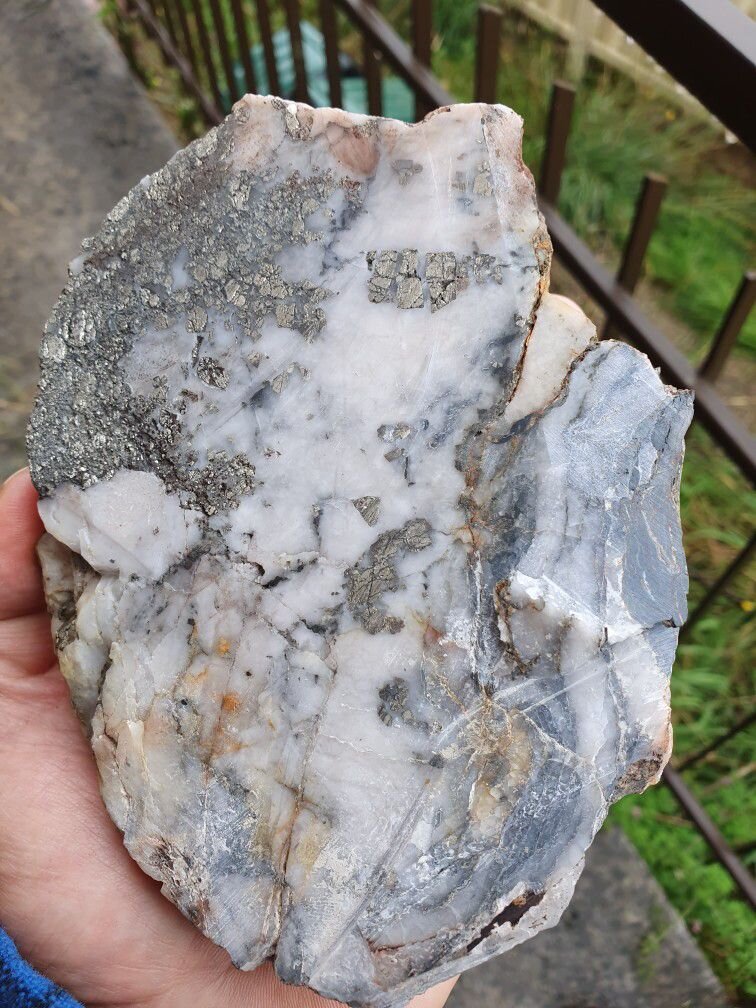
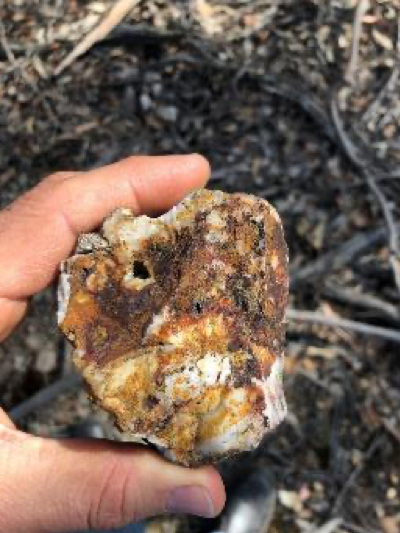
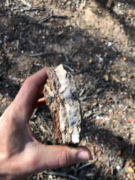
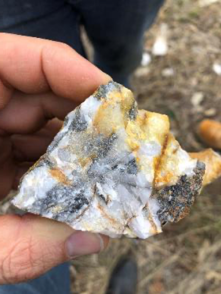
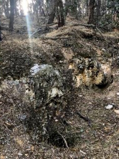
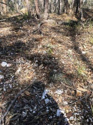
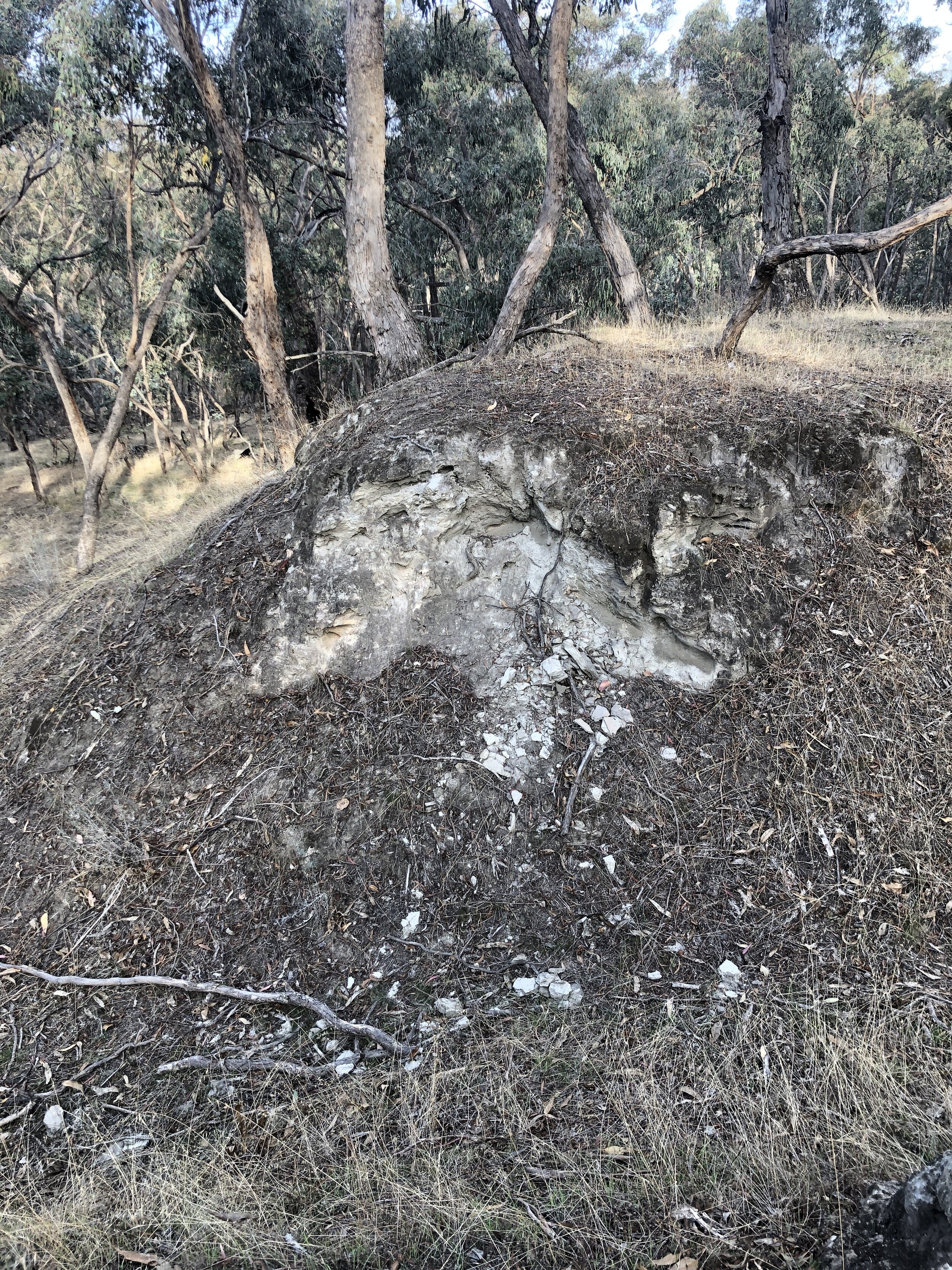
At the site there are two Exploration Licences and one Mining Licence that cover a +5 km long north-south gold-mineralized corridor. This gold corridor is defined through historical and current gold showings, exploration pits, gold reef workings, surface gossans, and gold bearing alluvial sands. Current development is focused on MIN5503 situated in the hangingwall to the Muckleford Fault, targeting orogenic gold hosted by quartz veins in Early Ordovician deep marine sediments. Surface mapping and deep ground penetrating radar (DGPR) provide evidence of target structures (laminated quartz reefs).
Gold mineralization typically occurs as course gold in sediment-hosted stacked quartz reefs (“saddle reefs and spurs”) and within rich alluvial surface deposits. There exists gold-bearing quartz saddle reefs form in faults and along dilational features associated with anticlinal and synclinal folds and structural offsets. The typical high-grade gold grades and widths in the Project area are +34 g/t Au over one to two metres.
plans
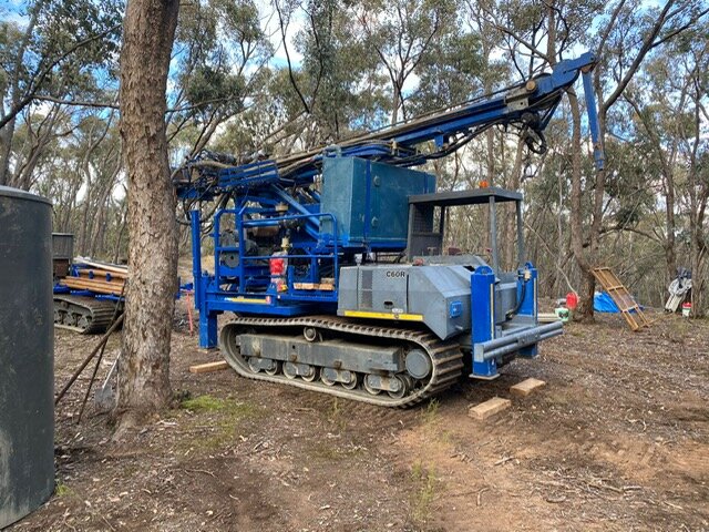
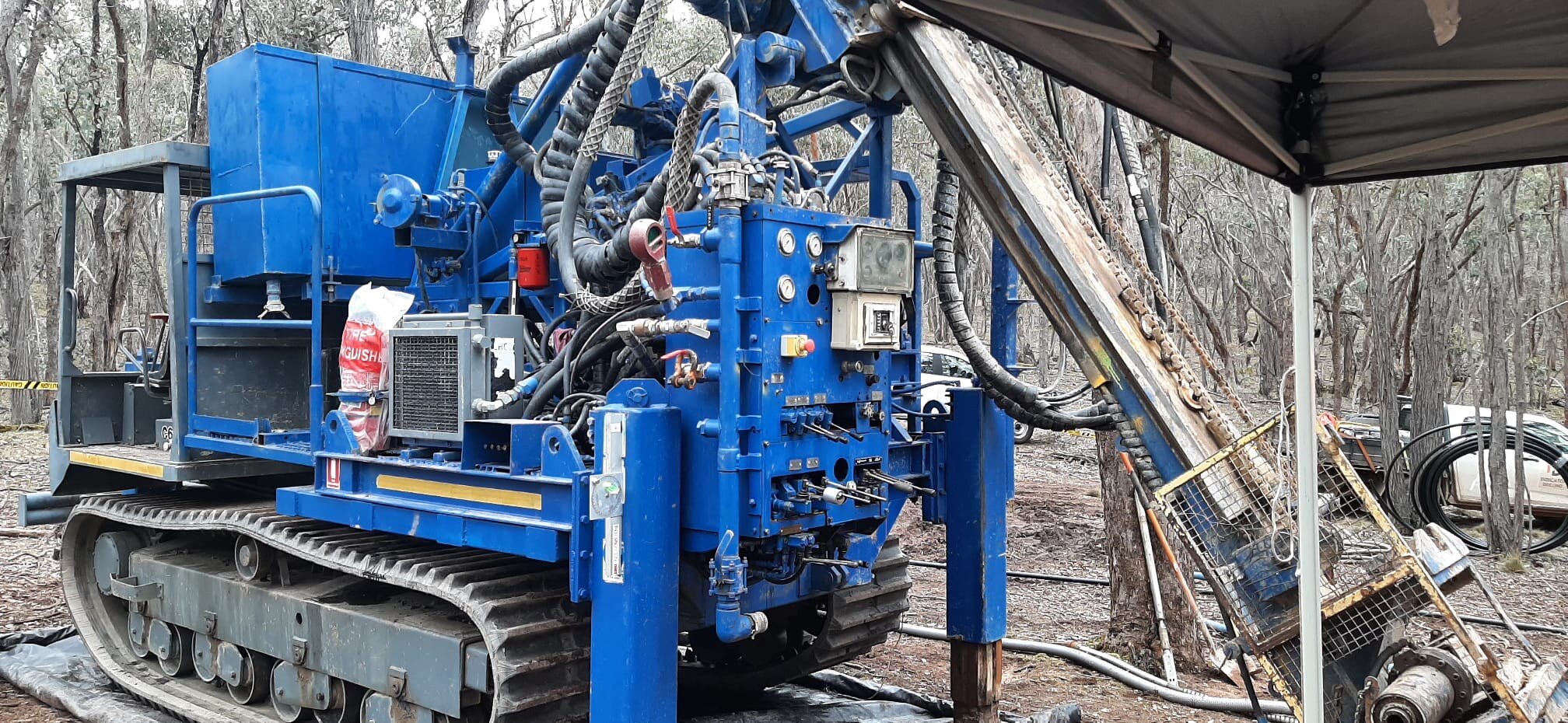
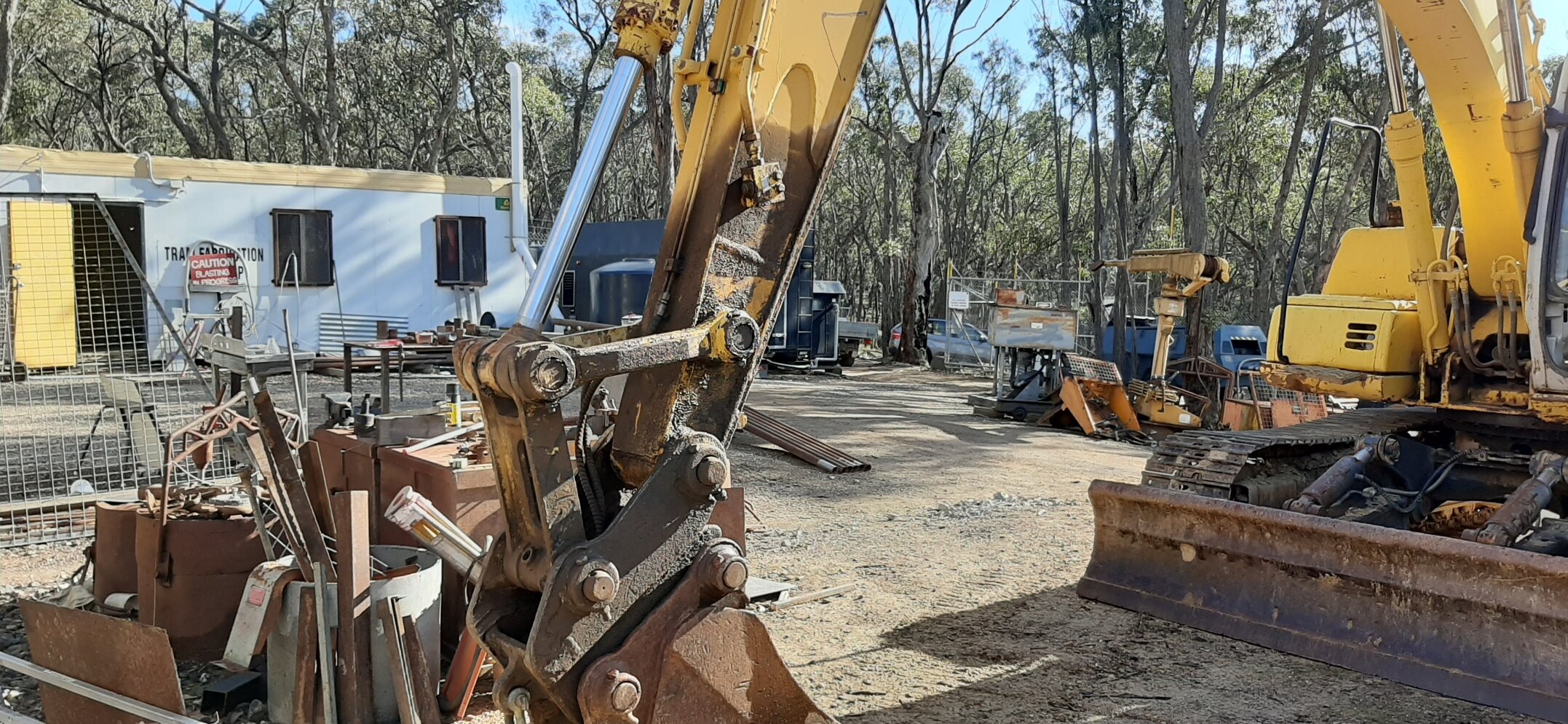
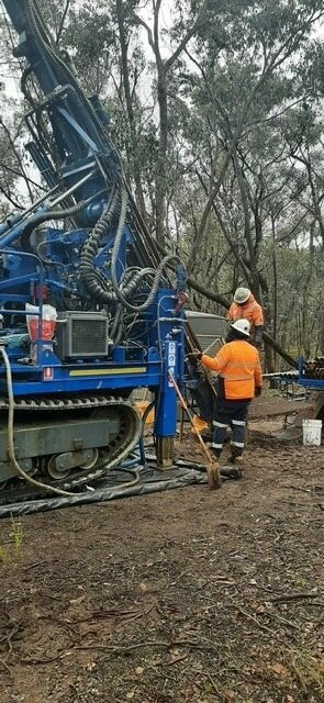
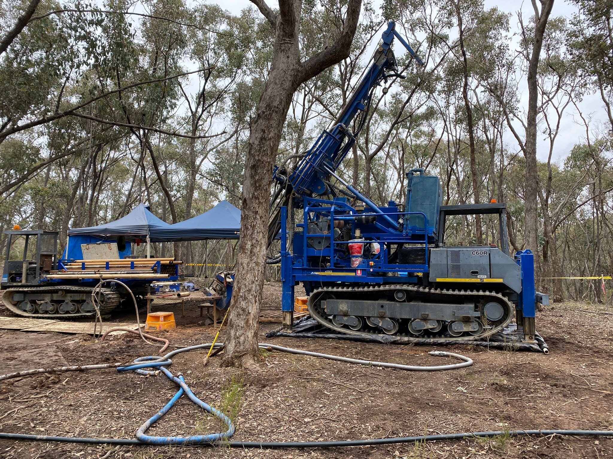
Nubian plans to continue with the current mine development, continue with geophysical surveys and carry out exploration drilling to test mineralization below and along strike from current mine development activities. Additional DGPR surveys will be completed to fill-in lines and expansion with 3D interpretation and targeting. A target maiden mineral resource estimate will be completed in order to move toward high-grade gold production.